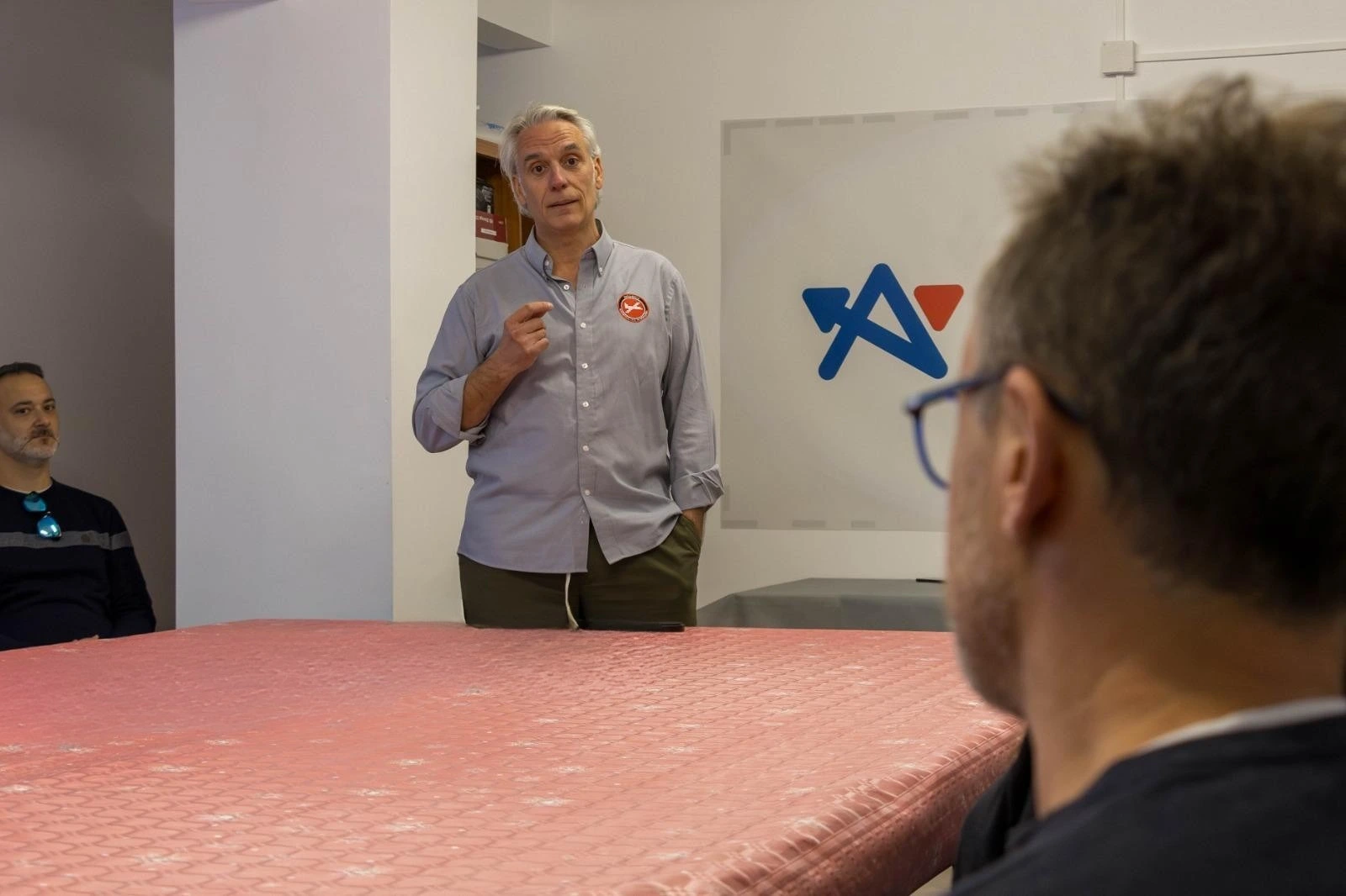
Aerial technology to save lives and protect the environment

Photogrammetry and LiDAR Applied systems Technological platform

We are a technology company specialized in the operation of airborne sensors to capture, process, and transform data into concrete solutions for our clients. We apply our expertise in sectors such as precision agriculture, cartography, forest inventory, emergency management, and real-time multimedia transmission.
Heligrafics

CEO of Heligrafics

Antonio Nácher Abad

OUR PRINCIPLES

Millimetric precision. Total commitment. Every project executed to the highest technical and quality standards.

WORK ETHIC

Safety, confidentiality, and professional rigor. We operate in critical scenarios where there is no room for error.

WHAT WE DO

We transform territories into actionable data through photogrammetry, LiDAR, and airborne hyperspectral sensors.

OUR LEGACY

20 years leading innovation in airborne geomatics. Projects across 4 continents. Proven institutional trust.

Precision Airborne Technology | Photogrammetry, LiDAR, and Hyperspectral Sensors

With over 20 years of experience, we have carried out projects in 15 countries, working alongside multinational companies and public institutions, particularly in photogrammetric missions, aerial surveillance, firefighting, and the protection of critical infrastructure.

Heligrafics on YouTube

Power Lines
0 kms
Forest Inventory
0 Ha

AIRBORNE SENSORS APPLIED TO ENGINEERING

Follow Heligrafics latest news