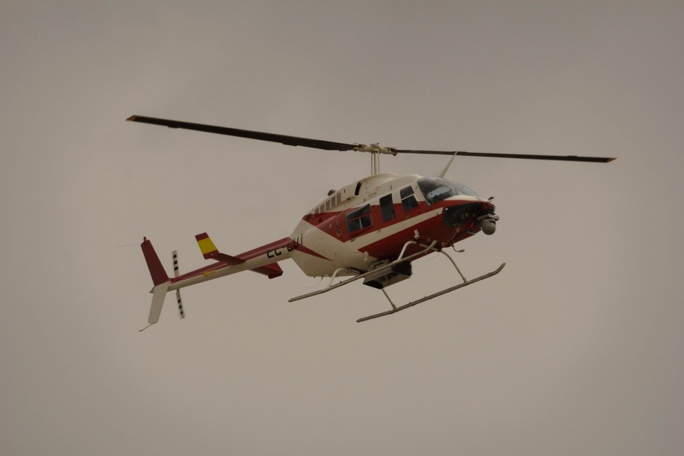
Advanced geospatial technology for emergency decision-making
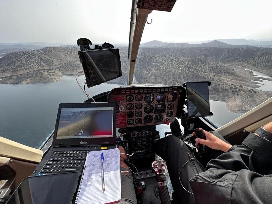
The Observation and Surveillance Area provides specialized technological solutions to capture, process, and transform geospatial data into actionable information for detection, monitoring, aerial coordination, and decision-making in the fight against wildfires, natural disasters, and civil protection operations.
Our recording and transmission technology platforms enable clients to access georeferenced images, videos, and operational data in real time—for immediate event monitoring as incidents unfold—as well as historical data, based on the recording and processing of information collected during previous missions. This allows for agile, coordinated decision-making. These capabilities have positioned Heligrafics across four continents, with highly specialized, top-tier teams—including aircraft, pilots, and camera and sensor operators—ready to respond immediately to the needs of each operation.