Plantation quality analysis

What is the Plantation Quality Analysis (QAFP) service?

Heligrafics’ Plantation Quality Analysis (QAFP) service was developed to address a key need in the forestry sector: assessing the quality and performance of young plantations in order to plan replanting, verify the effectiveness of weed control plans and evaluate the quality of prior operations such as soil preparation or subsoiling.

To achieve this, Heligrafics uses high-resolution cameras mounted on crewed aircraft, capable of reaching resolutions of up to 1.3 cm GSD (Ground Sampling Distance).

This level of precision makes it possible to clearly visualize changes in ground texture, the presence of plants, weeds and other relevant elements.

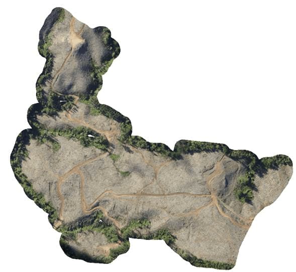
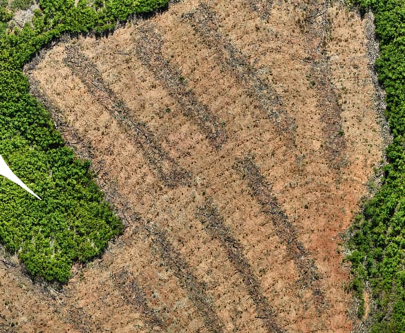
Smart detection using proprietary Deep Learning models

Based on these data, proprietary Deep Learning models are developed and trained to detect and classify plants, identify subsoiling lines and recognize areas with weeds. These models are continuously refined with new information, increasing their accuracy and robustness.

The results are processed using automated geoprocessing routines that generate interpretable vector layers, ready to be integrated into the client’s systems.

Want to improve the management of your plantations from year one?

Optimize your forestry investment with actionable, aerial-derived data.

Our QAFP service helps you make evidence-based decisions using geospatial information with centimetric precision.

What deliverables do we provide with QAFP?

With QAFP, Heligrafics offers an advanced analysis tool that optimizes early-stage plantation management, improves operational efficiency and provides an accurate basis for sustainable forestry decision-making.

High‑resolution orthomosaics (~1.4 cm GSD)

Point vector layers of detected plants

Polygon layers for weeds, prepared areas and planted zones

Statistical grids with indicators of density, survival and weed cover

Are you looking for complementary solutions?